You can drop / select up to 10 pictures at a time. Accepted image types: jpg, jpeg, bmp, gif
Click to choose up to 10 pictures or drag them hereWe're waiting 😎
Note: While we only allow 10 at a time, you can upload as many pictures as you want, and there is no size limit. With that said, your image quality and size will be reduced to save storage. The number and size of images dictates the time they will take to upload!
✖
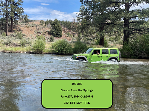
Understanding River Flow Data and Off-Road Vehicle Crossings
Cubic feet per second (CFS) is a measurement used to describe the flow rate of water in rivers and streams.
It represents the volume of water passing a specific point in the river each second. Specifically, 1 cubic foot equals
approximately 7.48 gallons of water, so a flow of 100 CFS means 748 gallons of water are flowing past a point every second.
Depth and Speed Correlation
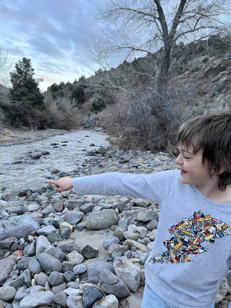
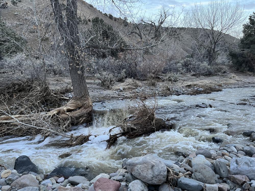
As CFS increases, the depth and speed of the river generally increase. Even if a river looks shallow, high CFS can mean faster-moving water, which can make a crossing more dangerous. The speed of the current and the water’s force can make controlling the vehicle more difficult.
Hydrodynamic Pressure
At higher flow rates, the force of the water increases. This force pushes against the sides and undercarriage of the vehicle, potentially causing it to float or lose traction. Water flowing at 200-500 CFS may already be strong enough to move or destabilize a vehicle, especially if the depth reaches the vehicle's axle height.
Other Considerations
Water Depth: CFS doesn't directly tell you the water depth, but it usually correlates. Always check the depth of the river as well. Terrain: Rocky, uneven riverbeds, combined with strong flow, can make vehicle control harder. Vehicle Design: 4x4 vehicles with good ground clearance and water wading capabilities are more suited for river crossings.
So what's the magic number?
It's difficult to specify a safe CFS value for river crossings because many variables come into play. Every vehicle has different capabilities, such as clearance, tire size, and weight, which affect how it handles water flow. Additionally, driver skill levels vary, and the river's depth, speed, and the presence of obstacles like rocks or hidden holes can drastically change the situation. Even a seemingly low CFS might be dangerous in one spot but safe in another. These factors make each crossing unique, so there's no universal "safe" CFS for everyone.
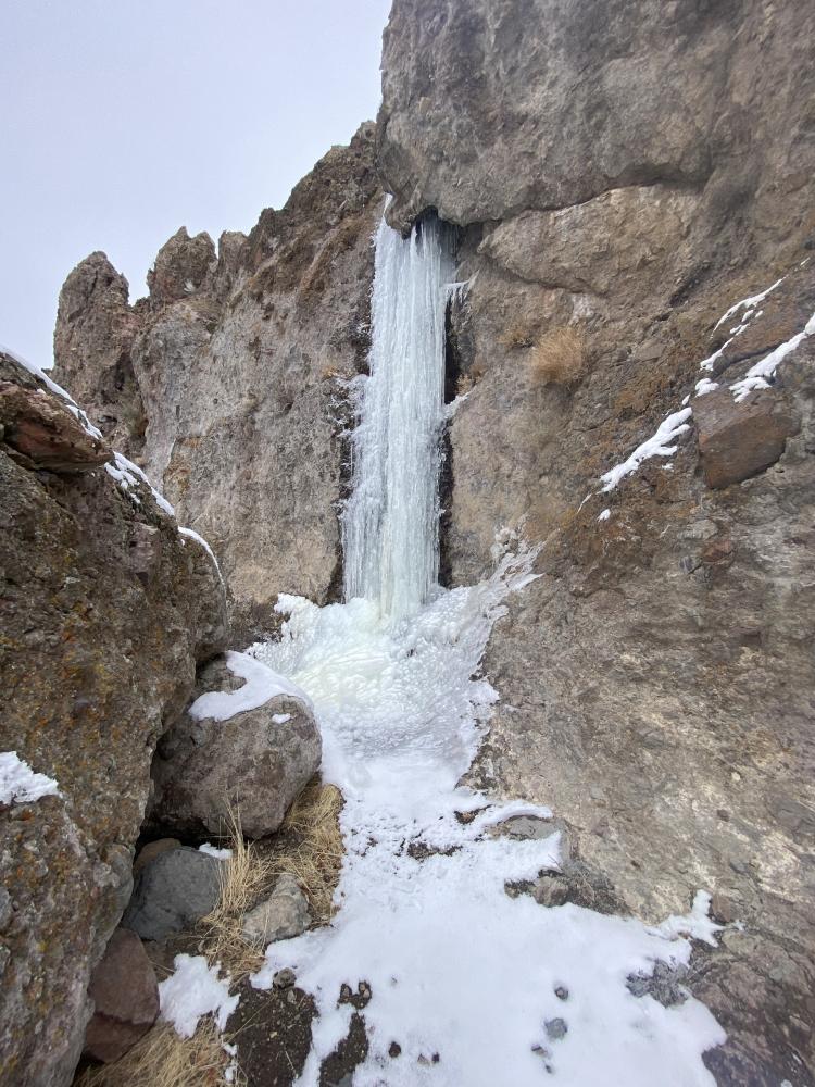
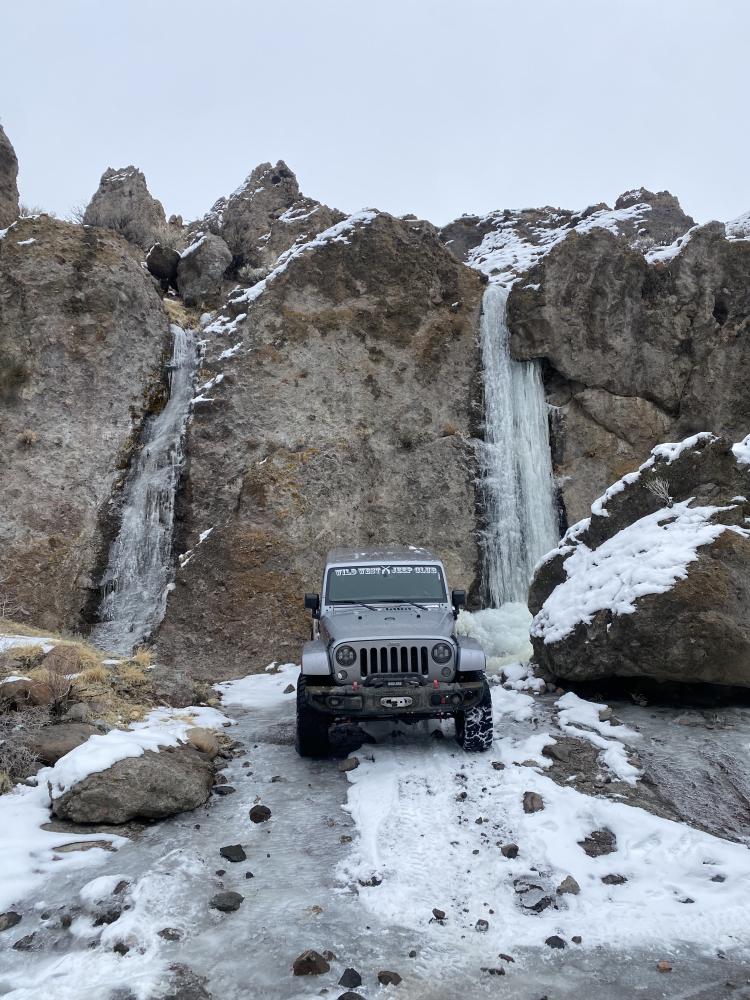
Winter Effects on Data
During the winter season, ice can form around water gauges, which can significantly impact the accuracy of river flow data. Ice buildup may obstruct the gauge or alter the way water flows past it, leading to potentially incorrect measurements.
If you're not sure which GPX to use, choose "Minified GPX"
Elevation Profile
Description
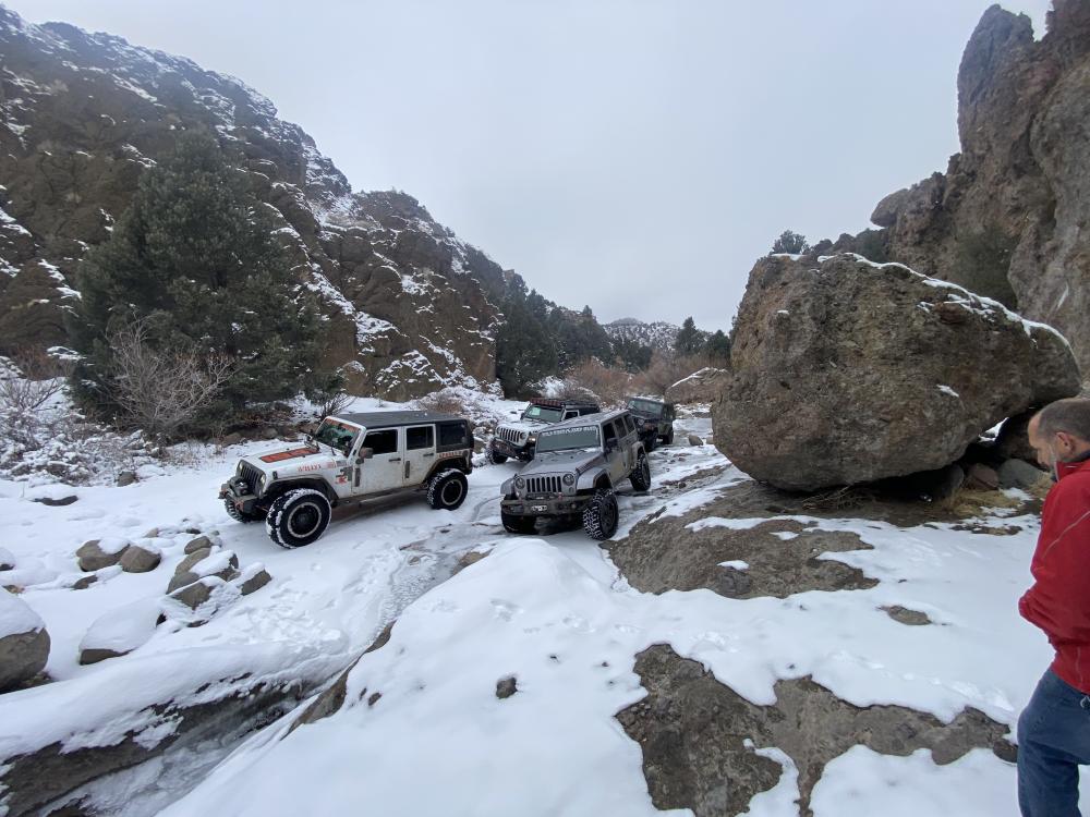
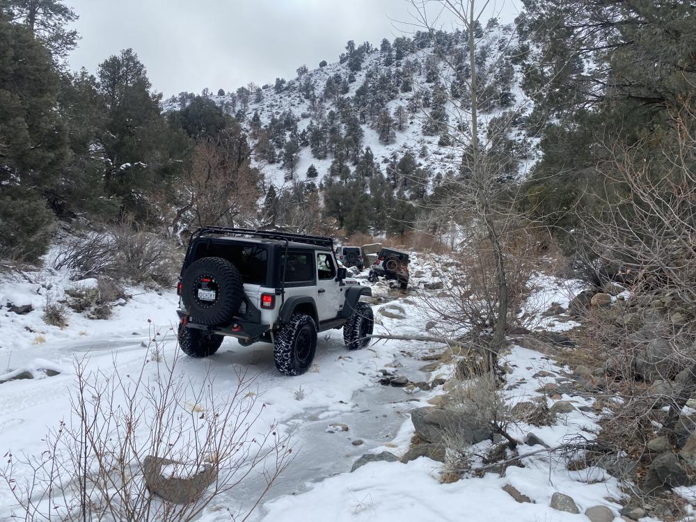
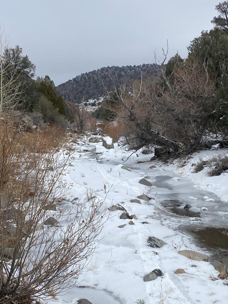
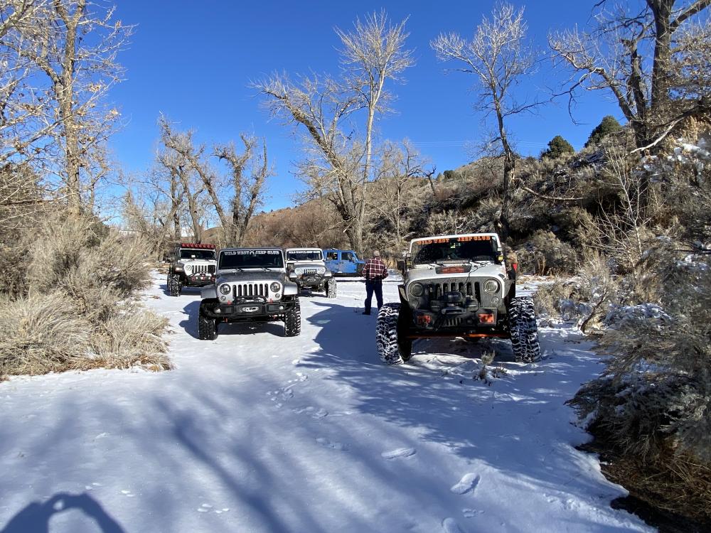
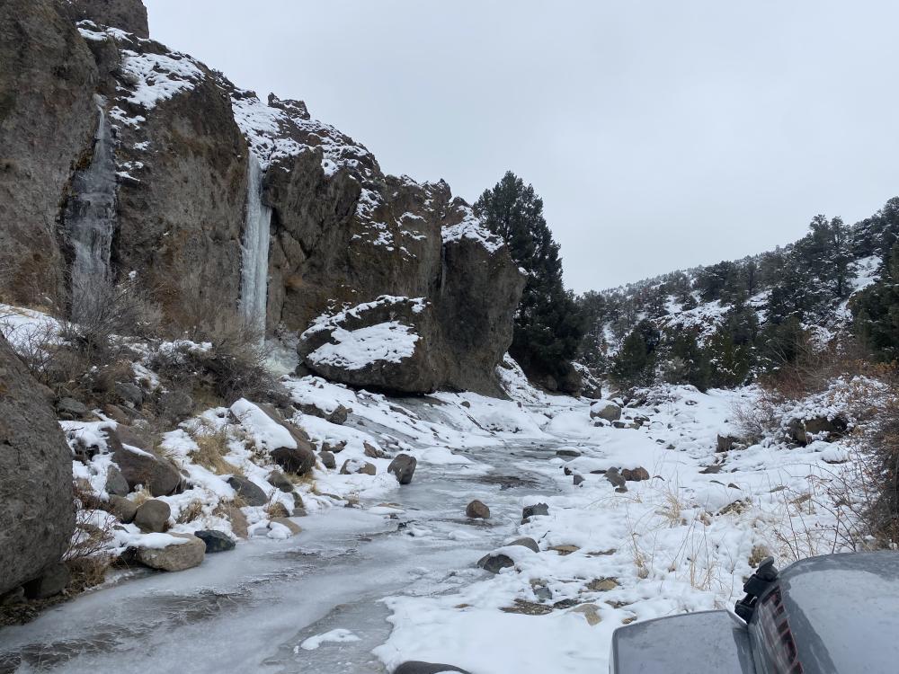
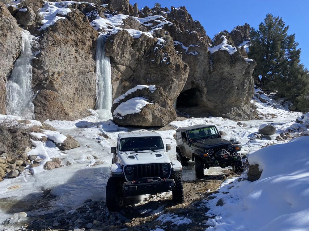
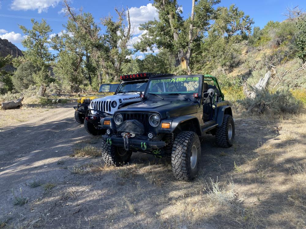
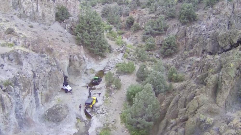
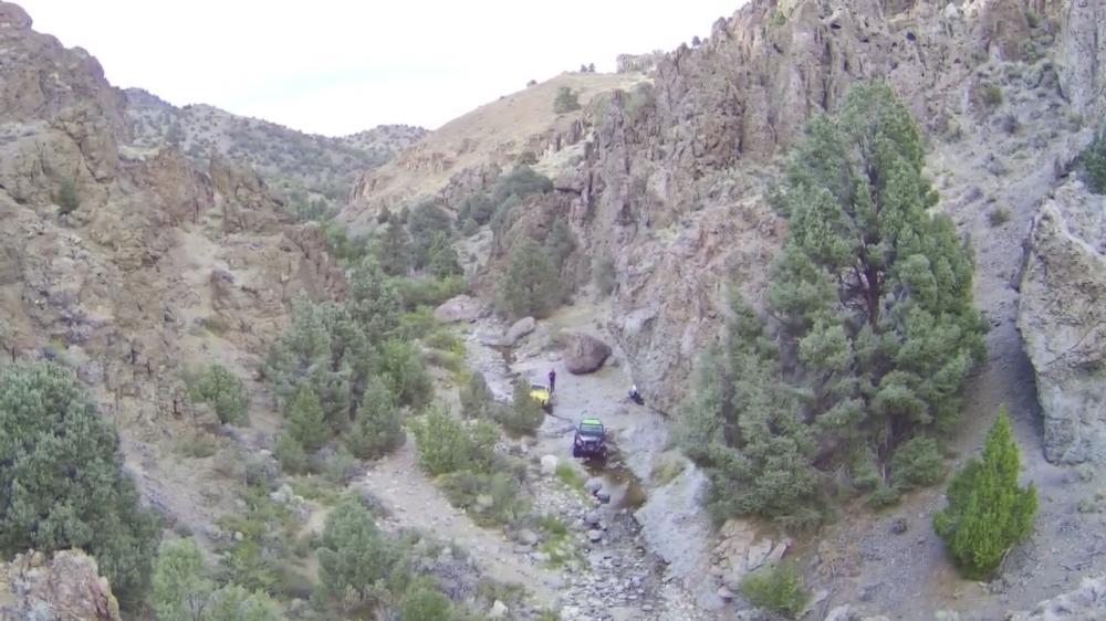
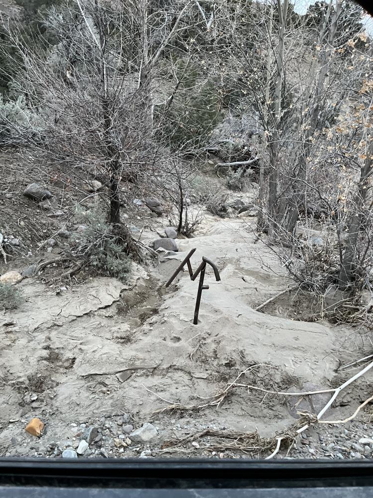
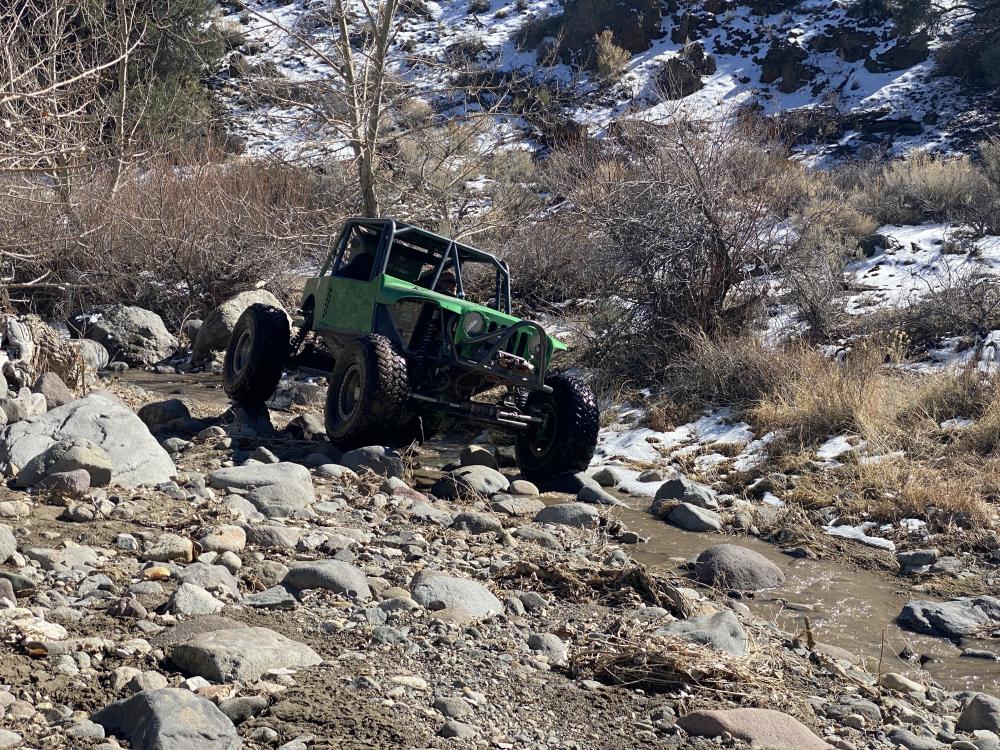
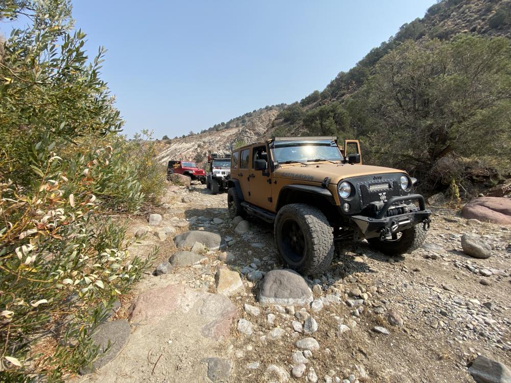
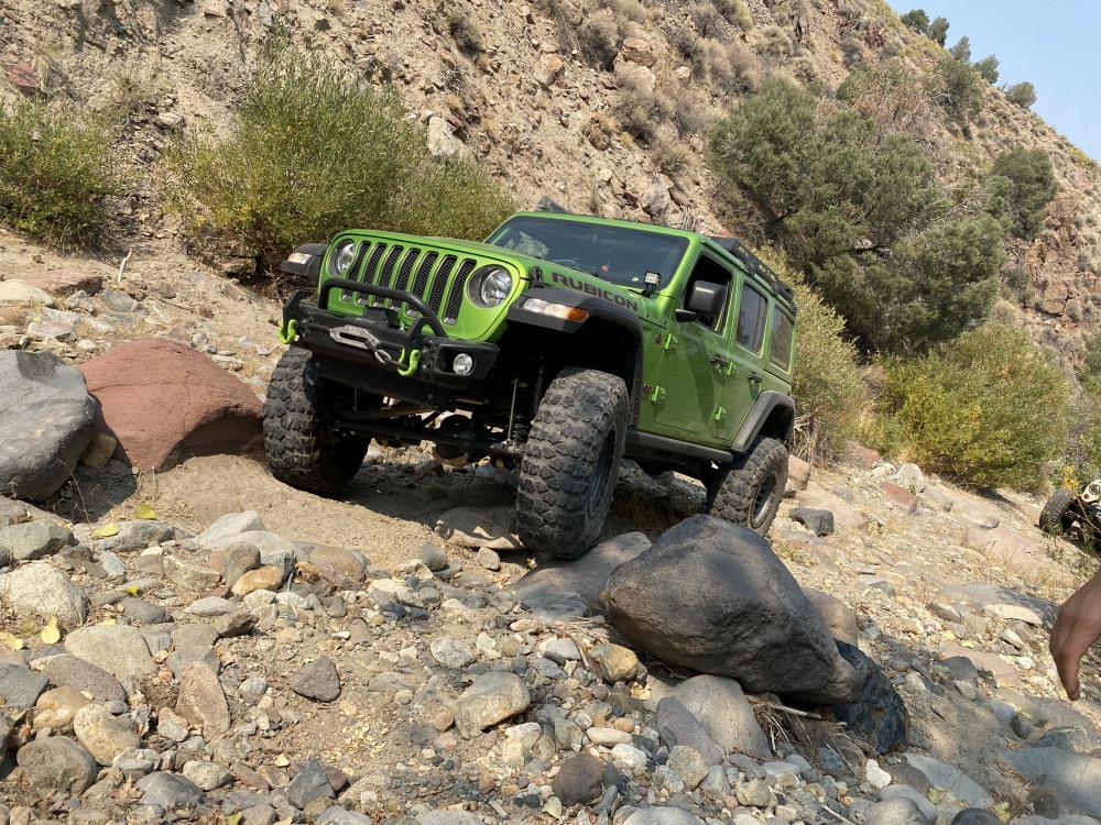
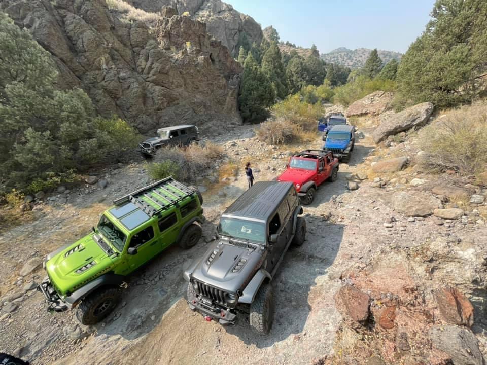
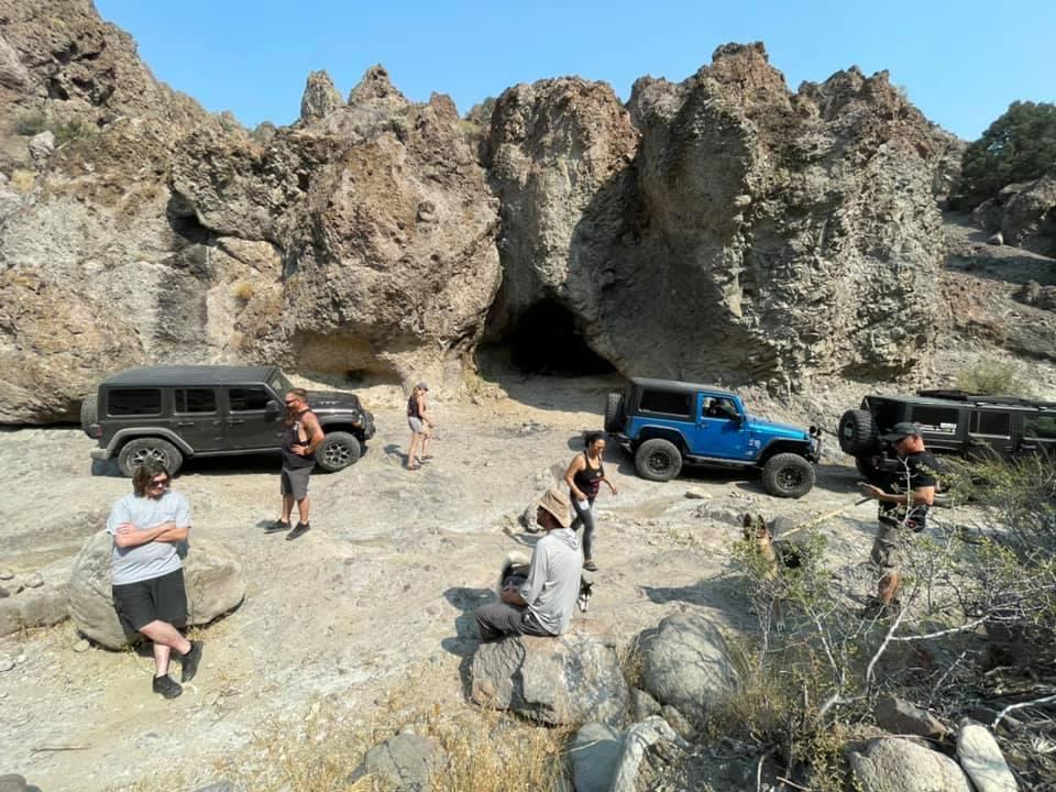
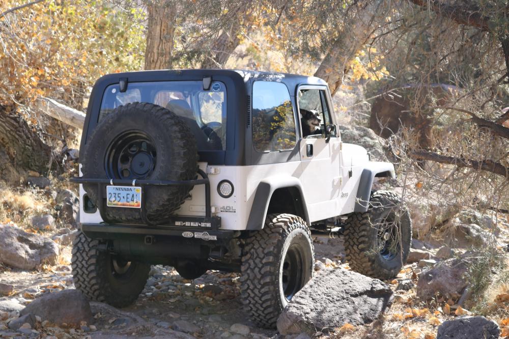
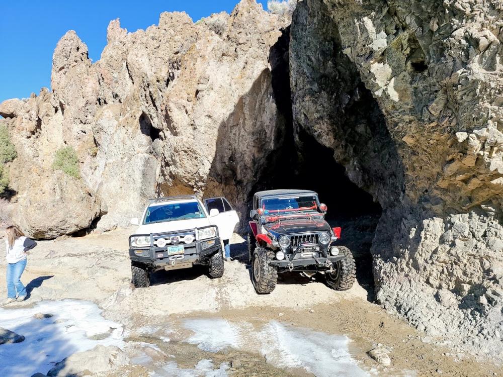
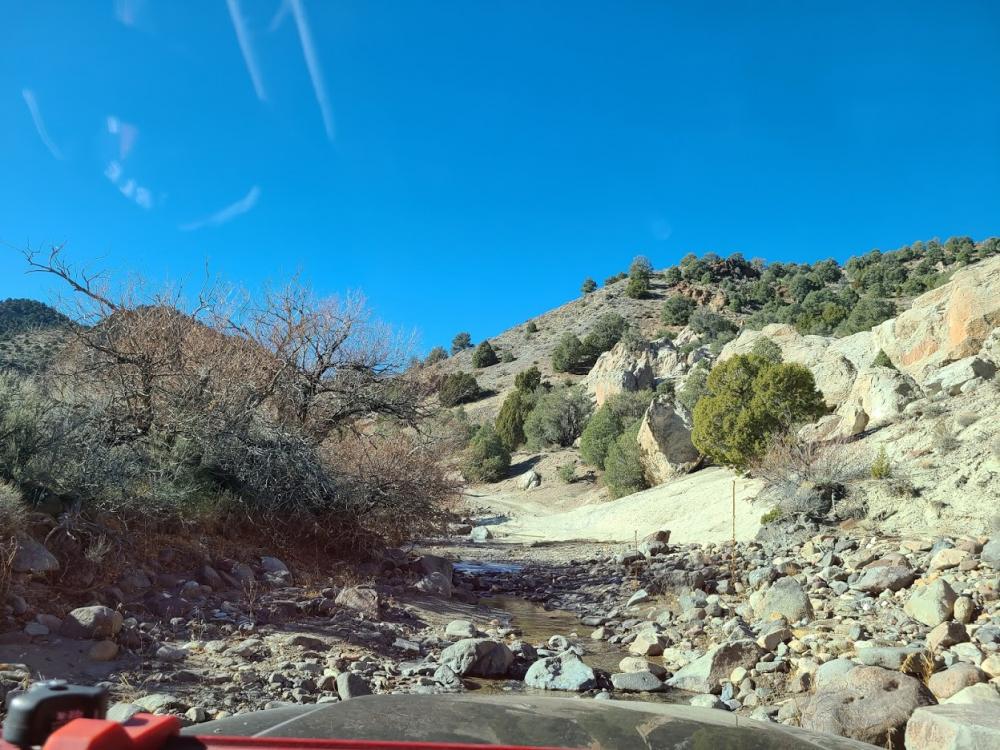
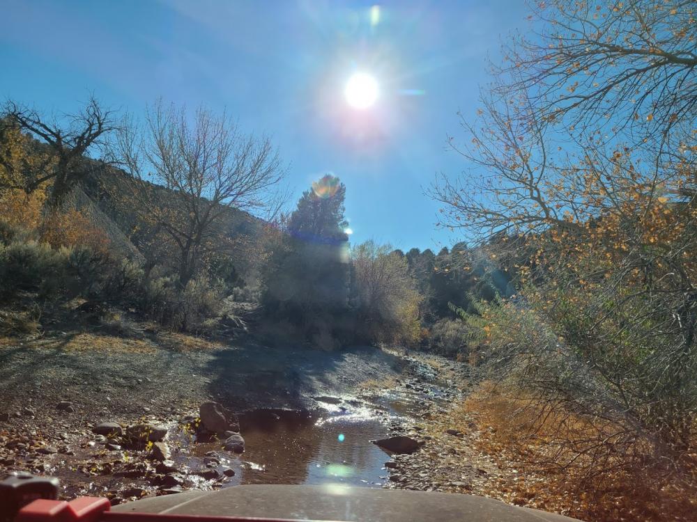
This is the general route to travel from the Dayton Rodeo Grounds to Sunrise Pass by means of Eldorado Canyon. It's a fun and somewhat challenging trail with many different types of terrain. Several creek beds with large rocks, wooded areas (watch for snow in the cold months), small water crossings and more. This particular track ends at the junction with Sunrise Pass. There's a neat little shallow cave along the way! Note that the creek bed routes are entirely optional. Follow this route to stay on the main trail. The creek bed intersects with the trail in multiple locations along the way, so you've got some options!
Weather Forecast
Loading weather forecast...
✖
Continued Area Weather Forecast
Eldorado Canyon
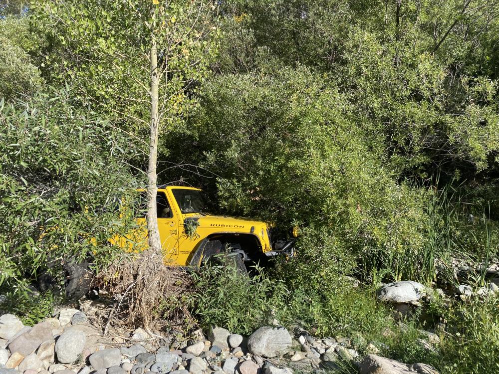
Trail Recommendations / Other Info
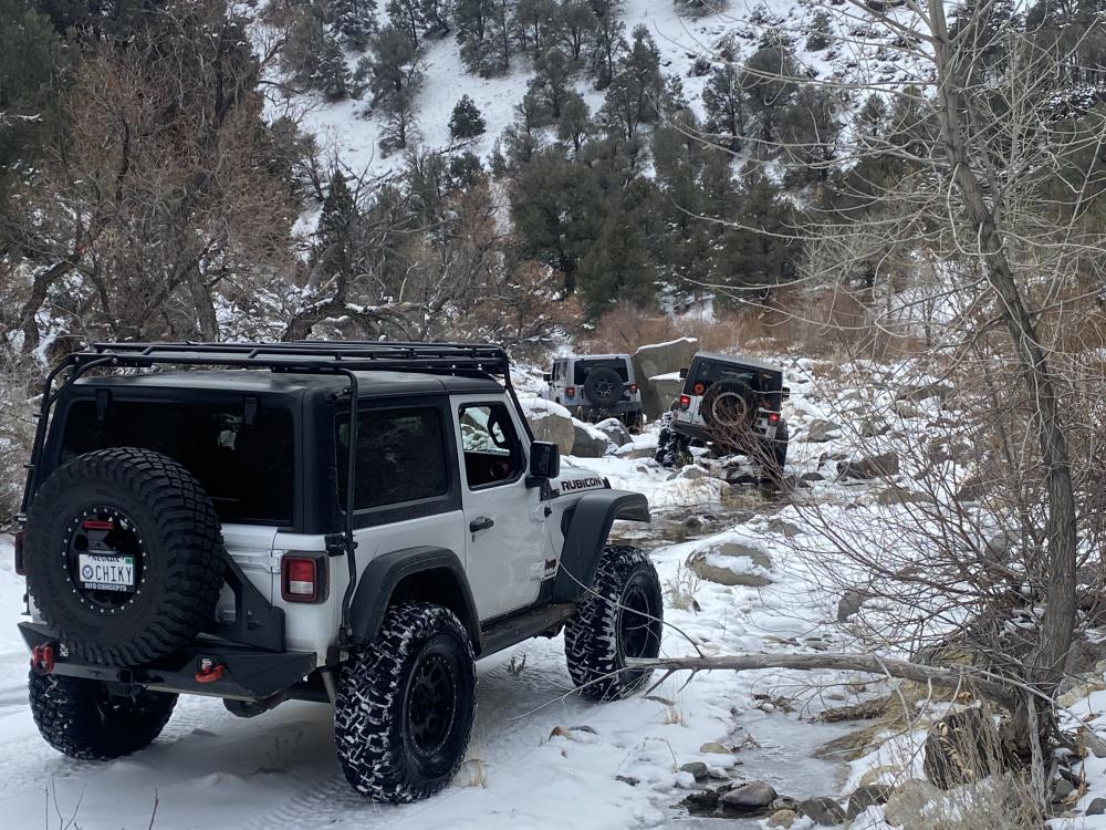
There are several tight spots, creek crossings, rocks and washouts to navigate through. If you decide to take the creek beds at any point in time, prepare for medium to large rocks in your path, and a trail rating of closer to 5 or 6 in certain places. It's recommended to have 35" tires and some good flex for the beds and the harder lines. Another cautionary note: the trees along this trail are often overgrown and extend into the path of your paint. Prepare for unavoidable pinstriping unless someone has recently pruned the trail.