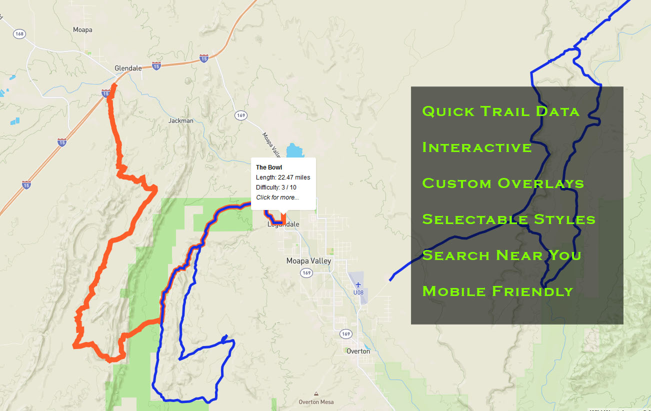
A community-driven, no frills database of offroad trails in the Wild West. Read more.
All general inquiries: info@wildwestoffroadtrails.com
Do you like this website? If so, consider helping me with the associated costs by buying me a coffee!
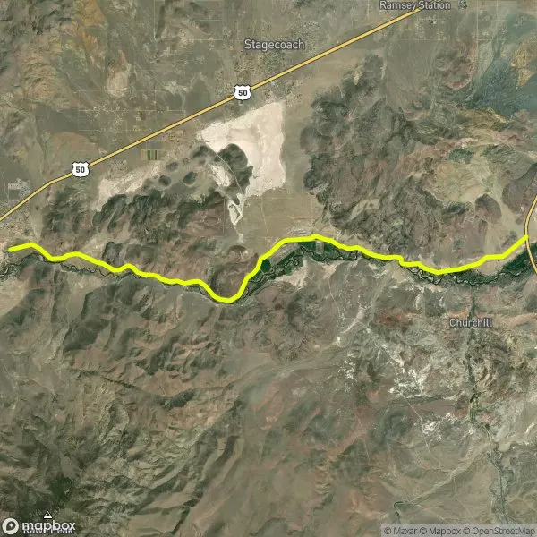
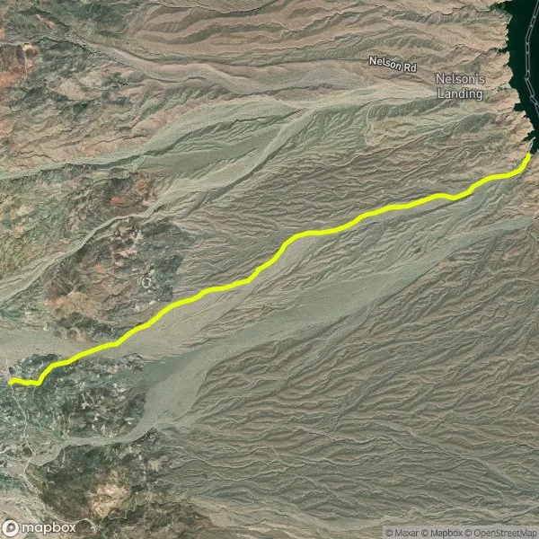
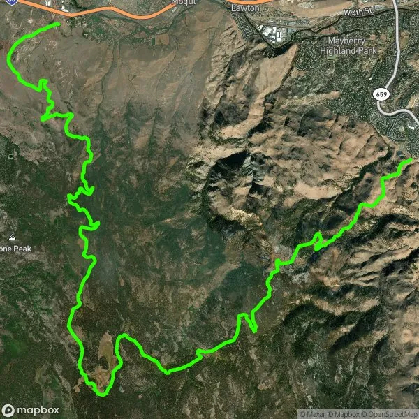
Some Random Trails
Database Stats
Updated 47 minutes ago
Trails
108
Track Points
143,003
Total Distance
2,474 miles
Waypoints
216
Trail Pics
359
File Downloads
20,394
Total Views
70,266
Avg. Difficulty
3 / 10
States
7
More Information
Welcome to your one-stop adventure hub for off-road trails across the Wild West! This ever-growing library is packed with community-powered trail data — complete with stats, elevation profiles, beautiful maps, epic trail photos, and downloadable GPX, KML & GeoJSON files. You’ll also find real-time weather, difficulty ratings, river flow data, and other handy info to help you plan your next backcountry trip.
The Western United States is a playground of public lands, with thousands of miles of main and secondary trails just waiting to be explored. Our goal? To give off-roaders like you a clean, easy-to-use, ad-free trail resource—built by the community, for the community.
Just a heads-up: you’re still responsible for obeying closures, land-use rules, and looking out for your own safety. We offer the tools, but the journey’s all yours. Use this data at your own risk and ride smart!
This isn’t meant to replace full-blown navigation apps like Gaia, onX, or AllTrails — but it works great alongside them! Think of this site as your launchpad: find the trails you love, grab the files, and plug them into your favorite app. And yes, it’s really free. No subscriptions. No popups. No nonsense. Just pure off-road goodness.
If you dig what we're doing and want to help keep the lights on (and the server running), consider tossing a coffee my way via the button at the bottom of the page. Every bit helps — thanks for supporting the off-road community!
